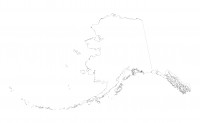
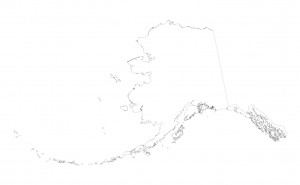
I am working on a BTOP logo and wanted a coastal outline of Alaska in a Albers Conical Equal Area Projection. Here is a start. Alaska is a very challenging state to map, because of the coastal detail and the long Aleutian island chain.
Anyway, this image was derived from a DNR ArcGIS file.
If you have trouble downloading this image please contact me.
this is an example of an explicit link: https://lasota.community.uaf.edu/contact/
blah blah blah

